Do you need a survey to buy land? What a plat replaces
Usually not, if you are buying a platted subdivision lot. The answer is that a recorded plat has already fixed those boundaries on paper, and your deed points at a lot and block inside it. You need a survey when the description is metes and bounds, when something is built near a line, or before you build.
That is the short version. The longer version is about what a survey actually buys you, because it is not certainty about ownership.
What a survey does that a plat does not
A plat is a map of a subdivision, recorded at the county, that lays out lots, blocks, streets and easements. It is the document that created your lot as a legal object. Read it once and you know the shape, the dimensions and what runs along the edges.
A survey is a licensed surveyor going out with the plat, the deed and the neighbours' deeds, finding old evidence on the ground, and telling you where the line falls in reality. The output is a drawing that says what was found and what was set.
So the two answer different questions. The plat answers where the line is supposed to be. The survey answers where it is, and the gap between those two sentences is the entire product.
| Recorded plat | Boundary survey | |
|---|---|---|
| Where it lives | County records, free to pull | Commissioned by you, paid |
| What it fixes | Lot dimensions, blocks, streets, platted easements | Physical corner positions on the ground |
| Good for | Understanding what you are buying | Building, fencing, resolving a dispute |
| Blind spot | Says nothing about what is on the land today | Costs money and takes scheduling time |
Do you need a survey to buy land in a platted addition?
For closing, generally no. Here is why, using my own parcels.
I own 7 lots in Izard County, Arkansas, all of them between 0.25 and 0.35 acres in and around Horseshoe Bend. Every one of them is described the same way: a lot number inside a named addition, for example Lot 192 in the North Shore Addition, and four of them sit as Lots 29 through 32 in the Spring Addition. That description is not a guess. It points at a plat that a surveyor prepared and the county recorded, and it is why a deed can transfer the parcel in one line without describing a single bearing or distance.
Compare that with metes and bounds land, the kind that reads "thence north 42 degrees east 318 feet to an iron pin". There the description is the survey, it may be decades old, and the pin it refers to may not exist any more. That is the case where I would not buy acreage without one.
The other trigger is anything physical near a line. A shed, a driveway, a well, a fence a neighbour put up. Documents cannot resolve that, and a photograph from a listing definitely cannot. Reading the plat first is still the cheaper move, and I walked through how in how to read a plat map.
Why the county map is not a boundary
This one costs people real money, so it deserves its own heading.
County GIS parcel viewers are built for assessment. They draw a polygon roughly where the parcel is so the county can value and tax it. Most of them carry a disclaimer to that effect right on the page, and the disclaimer is not lawyer noise. Those lines are digitised from many sources of varying age and accuracy, and they can sit tens of feet away from where the deed puts them.
Use the county map for orientation. Which road, which side, how it relates to the lake or the highway. The moment you are deciding where to pour concrete, that map stops being an authority and a surveyor starts being one.
The same logic applies to the aerial photo. It shows condition, not rights. What is recorded and what is visible are two separate inventories, which is also the theme of how to check for an easement on land.
When a survey is worth paying for
Five situations, and I would spend the money on any of them.
You are about to build, and a setback has to be measured from a real corner rather than an estimate. Your description is metes and bounds. A structure, fence or drive is close enough to a line that a mistake becomes a legal problem. A lender or title company is asking for it, in which case the decision is already made. Or you looked for the corners, found nothing, and the corners matter to you.
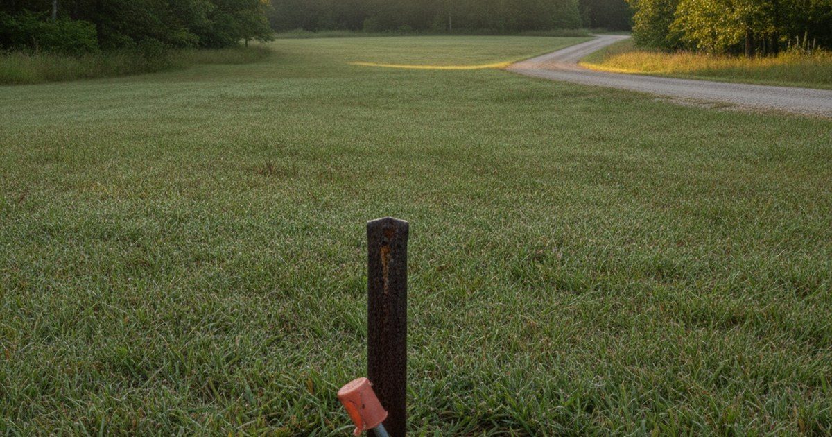
On my own lots the practical route is cheaper. An older platted addition usually has iron pins set at the corners by the original surveyor, and with the recorded plat and a metal detector they are often still findable. Sometimes they are not, because road work, brush and 50 years happen. If a corner matters and no evidence turns up, that is the honest point to stop guessing and hire someone.
One thing a survey does not do. It does not confirm that the seller owns the parcel, that taxes are clear, or that no lien is attached. Those are record questions, and they sit in the rural land due diligence checklist rather than in a surveyor's drawing. If you want to see how a real parcel is described before you decide, the lot pages on this site print the parcel number and the legal description together, for example the Ranchview Road lot.
FAQ
Do you need a survey to buy land?
Not to close on a platted subdivision lot, where a recorded plat already fixes the boundaries. You do need one for metes and bounds land, when a structure sits near a line, when a lender requires it, or before you build.
What is the difference between a survey and a plat?
A plat is a recorded map that defines lots and easements on paper. A survey is a licensed surveyor marking where those lines fall on the ground and issuing a drawing of what was found or set.
Are the parcel lines on the county GIS map accurate?
They are an assessment mapping product, not a boundary determination, and most county sites say so. Fine for orientation, not for placing a fence or a corner.
How do I find the property corners on a rural lot?
Take the recorded plat and look for the original iron pins with a metal detector. On older additions they are often still there. If nothing is found and the corner matters, hire a surveyor.
How much does a boundary survey cost?
It varies by county, acreage, parcel shape and how much old evidence survives. Get a written quote from a licensed surveyor in that county rather than working from a national average.
Before you buy
Pull the recorded plat first, because it is free and it answers most of what people think they need a survey for. Then decide the survey question on one test: is anything about to be built, fenced or argued over. If the answer is no, the plat and the deed have you covered for the purchase itself, and you can commission a survey later when the reason arrives. If you want the full pre purchase order of operations, it is in how to research land before buying.
This is not financial or legal advice. Survey requirements, plat quality and county mapping practice vary by parcel and change over time. Confirm the recorded plat and legal description with the Izard County assessor and circuit clerk, use a surveyor licensed in Arkansas, and have your own attorney review anything you sign.